- Situation Awareness
- With technological advancements such as artificial intelligence and machine learning making it easier for scientists to process and interpret a large amount of data, weather prediction and its impact on populations can now be better addressed.
- Cloud-based G.I.S. display of structured data
- Since 2012 the National Information Sharing Consortium (NISC) has worked to provide "the right information to the right people at the right time" by use of common terminology among the emergency management community and first-responders with a mission of standardizing the structured geo-spatial data to be shared online over a variety of platforms.
- The result is to create a Common Operating Picture (COP) that generates accurate and timely information displayed visually, both at the strategic level for decision makers and at the tactical level for people on site.
- The NISC promotes the sharing of code, data widgets, and training in order to increase the quality of the situational awareness. Large scale exercises like the Capstone-14 week-long event coordinated by the Central United States Earthquake Consortium (CUSEC) and actual operational use of these data sharing methods have also advanced the work of NISC to expand the usability of GIS-based information sharing for enhanced situational awareness.
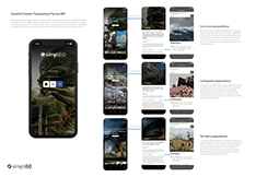
Emergency Preparedness App—
How it works?
Technology to assist in the fight
Earthquakes, storms, heat waves, snowstorms and floods have been leading causes of death from natural disasters during the past year, affecting all regions around the world.
The most recent figures show that natural disasters caused losses of $131.7 billion in 2018 and affected millions of people around the world.

- Kevin Petty, director of Science & Forecast Operations from The Weather Company, a subsidiary of IBM, relates, "One of the key things that we are always looking to do is to enhance prediction of weather globally in order to reduce those impacts that it has on the population, allowing populations to be more resilient in the face of high impact weather".

- Predictive solutions to help fight natural disasters now make use of artificial intelligence and machine learning, technologies capable of processing and interpreting a large quantity of data. Weather patterns using sophisticated algorithms will soon be able to handle in-depth analyses of data coming from multiple domains.
- Forecasting models can identify hot spots of emerging diseases and predict trends regarding where the problem is most likely to expand.
- Situational awareness helps you learn where new resources can be located. Understanding situational awareness one has to understand the context at the moment. The environment after a natural disaster is a complex one. Situational awareness can help give you additional tools to deal with things in this super-charged environment. Organizations will need to find their people and get them to work quickly.
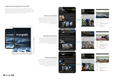
Emergency Preparedness—TSCP Planner Marketplace
 |
 ; ; |
Technology at work
-
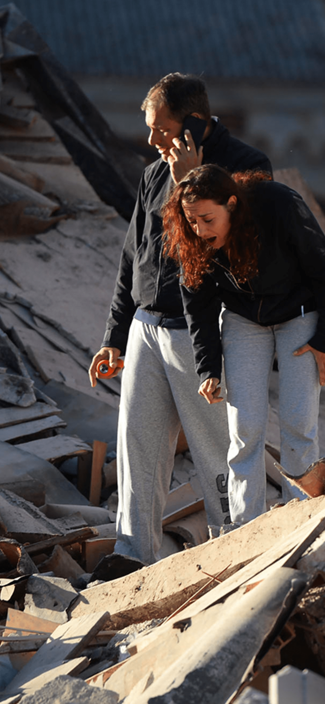
Landslides and Earthquakes
- What happened:
- Earthquakes and landslides were quite common in 2019, according to the International Disaster Database, or IDD, put together by the Centre for Research on the Epidemiology of Disasters in Belgium. Landslides caused dozens of deaths in China, Bolivia, Peru, Indonesia, Uganda, Cameroon, Chad, Ethiopia, Morocco, Myanmar, Malawi, Papua New Guinea and the Democratic Republic of Congo. Additionally, earthquakes last year struck Pakistan, Indonesia, the Philippines, China, Chile, Peru, El Salvador, Iran, Albania and Ecuador.
- Technology solutions:
- Predictive solutions for earthquakes now make use of artificial intelligence and machine learning, technologies capable of processing and interpreting a large quantity of data. A recent solution developed by experts at Cornell University is able to better forecast so-called "slow-slip earthquakes," a type of tectonic motion of much lower intensity that can last for hours or days. While prediction is a tricky word for those studying seismology, advancements in artificial intelligence may help scientists find patterns otherwise impossible to track.
- What happened:
-
Storms
- What happened:
- According to the IDD, several tropical cyclones caused hundreds of deaths in 2019, affecting people in countries such as Japan, China, India, Mozambique, North and South Korea, Bangladesh, Thailand and the United States. It was one of the most common natural disasters last year and the cost for economies was significant. For instance, typhoon Hagibis cost the Japanese economy $10 billion in damages and insured losses.
- Technology solutions:
- Weather prediction currently does not rely on new technology -- if anything, it uses rather old technology such as radars that were first used in World War II. Despite the rather conservative methods of collecting data, innovation may improve forecasting.
- Advances in artificial intelligence promise to allow for a larger quantity of weather data to be analyzed faster, more accurately and in greater detail, making weather predicting outcomes more accurate, as well.
- At the same time, only sophisticated algorithms will soon be able to handle in-depth analyses of data coming from multiple domains, such as geophysics, from the atmosphere, ocean, or the biosphere.
- What happened:
-
Extreme Temperatures
- What happened:
- About 160 people died during the Japanese heat wave in the summer of 2019, according to the IDD. In the months of July and August, more than 18,000 people sought medical attention due to extremely high temperatures that rose above 105 degrees Fahrenheit (41 degrees Celsius).
- Unusually high temperatures also affected India and Western European countries such as France, Italy and the United Kingdom, causing multiple deaths.
- Technology solutions:
- Forecasting models use complex algorithms that can assess the onset, duration and demise of an upcoming heat wave. One such model was developed in India, at the Indian Institute of Tropical Meteorology.
- The system identified problematic regions and predicted the rise in temperatures that posed risks. According to the study, predicting heat waves is becoming increasingly important around the world, as their frequency is growing and the losses they bring are overarching.
- Heat waves not only cause the loss of human lives but also cause health issues, increase economic spending, affect agricultural production, energy and infrastructure.
- What happened:
-
Floods
- What happened:
- About 1,600 people died in India between July and September 2019 due to flash flooding, shows the IDD. In March, torrential rain forced more than 4,000 Indonesians out of their homes in the Papua province. Floods also heavily affected places such as Nepal, Myanmar, China or Bangladesh.
- Technology solutions:
- Floods caused by natural causes, such as increased rainfall or storms, can also be predicted with sophisticated technological models. Artificial intelligence can help technologists better interpret a growing amount of data and create forecasting models that can automatically alert authorities.
- In September 2019 Google announced it had begun implementing a flood forecasting model in the Indian region of Patna. The U.S. tech giant built an inundation model that can predict the water level rise in a particular area and assess the "water behavior," or what areas can be flooded very quickly -- a phenomenon known as flash flooding.
- Google partnered with several institutions on the ground that provided it with real-time data.
- What happened:
-
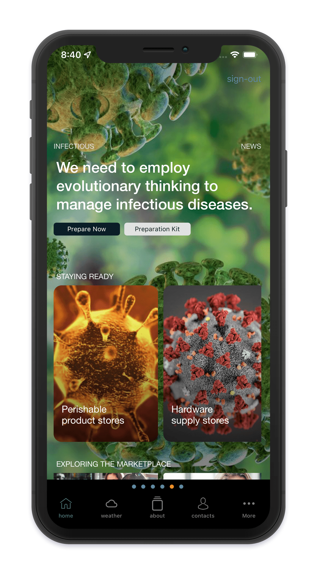
Epidemics
- What happened:
- According to the IDD, a measles epidemic killed around 4,000 people in the Democratic Republic of Congo. The plague began in January 2019 and lasted for about nine months, affecting the North Kivu and the Ituri provinces.
- Technology solutions:
- Several methods are currently used to forecast the spread of particular emerging epidemics. Forecasting models can identify hot spots of emerging diseases and predict trends regarding where the problem is most likely to expand. Experts surveil the internet, looking for health care reports, correlate environmental data such as soil components, a rise in temperature or humidity -- all factors that can help a disease spread more quickly. Satellite imagery can also be used for tracking the path of specific insects that transmit certain diseases.
- What happened:
Emergency Preparedness TSCP Planner
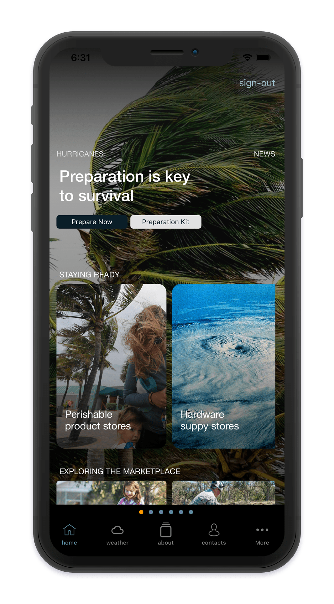
Hurricane
Being prepared
Be prepared for disasters and other emergencies with a well-stocked emergency kit for your home, workplace and automobile. Prepare to survive on your own for several days.
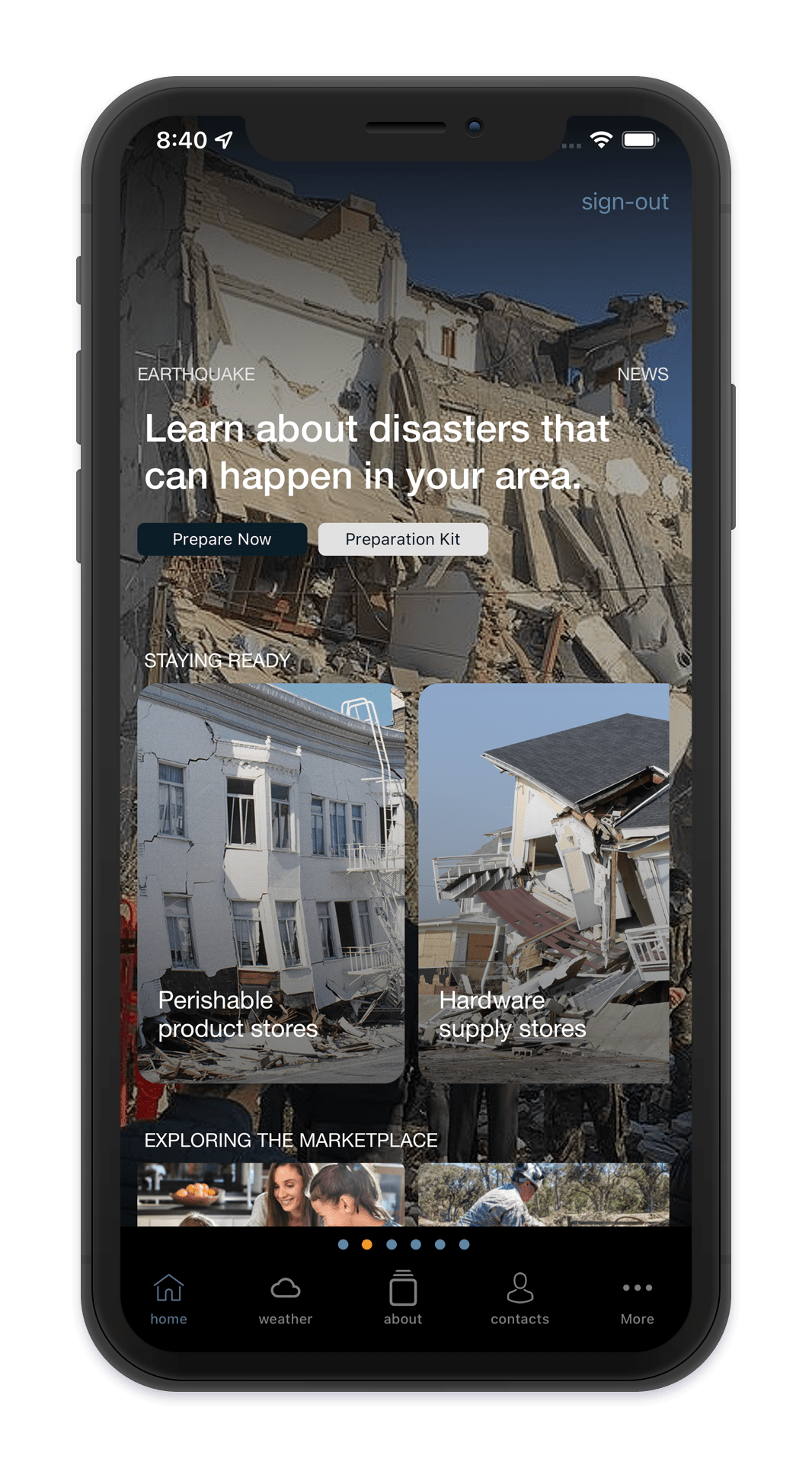
Earthquake
Resource center
A resource center that promotes innovation in disaster preparedness and supports learning and knowledge sharing amongst disaster preparedness practitioners worldwide.
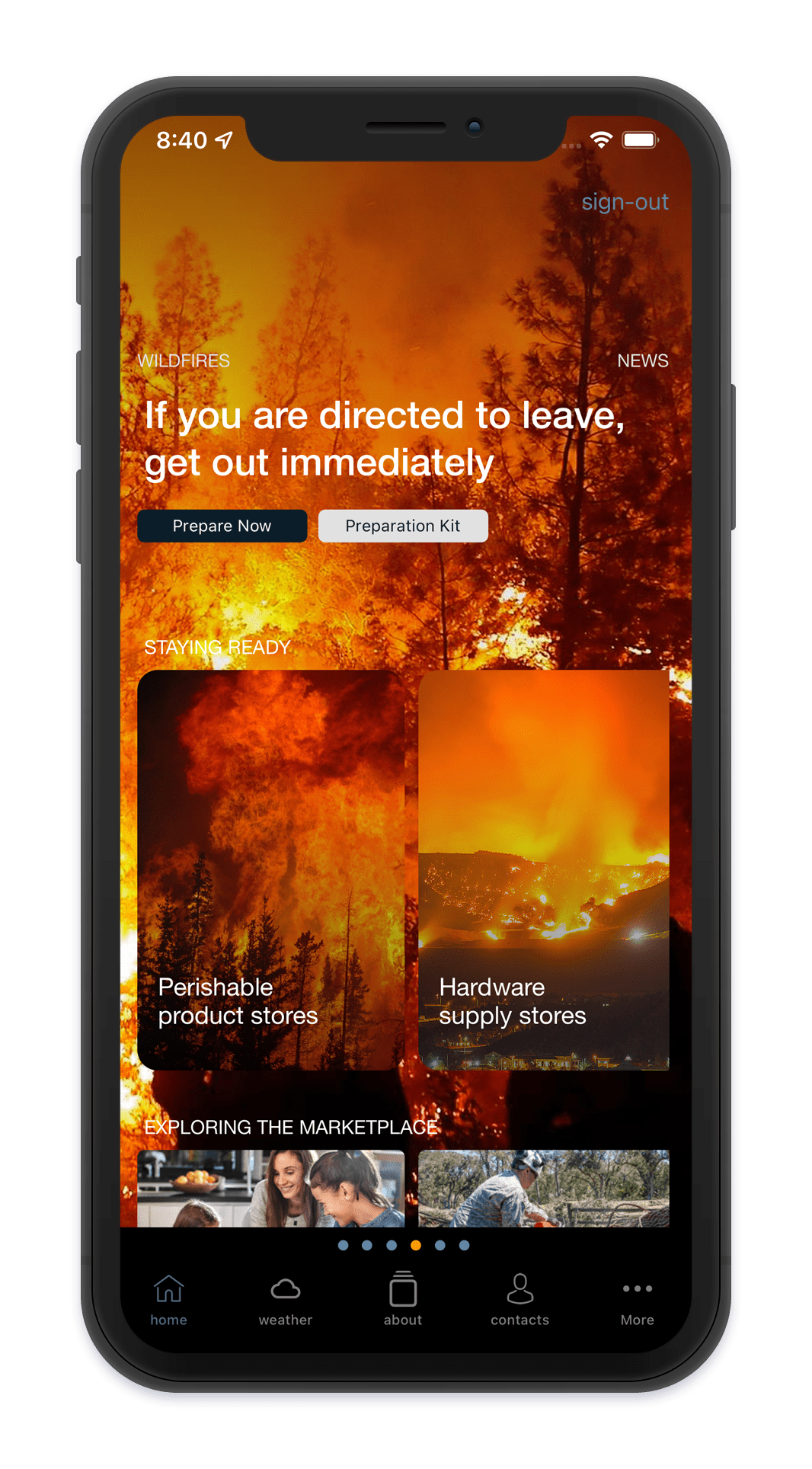
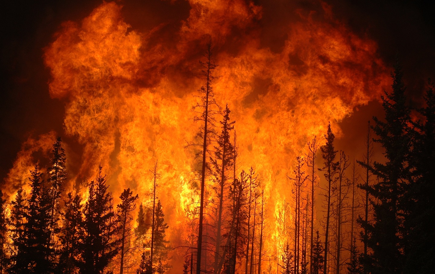
Wildfire
After an emergency
Although no one wants to think they’ll face an emergency, chances are you or someone
you know will find themselves in an urgent situation.
Infectious
Know the plan
The ultimate goal is to help you and you family come up with a customized emergency plan
that helps you prepare before and after an event.
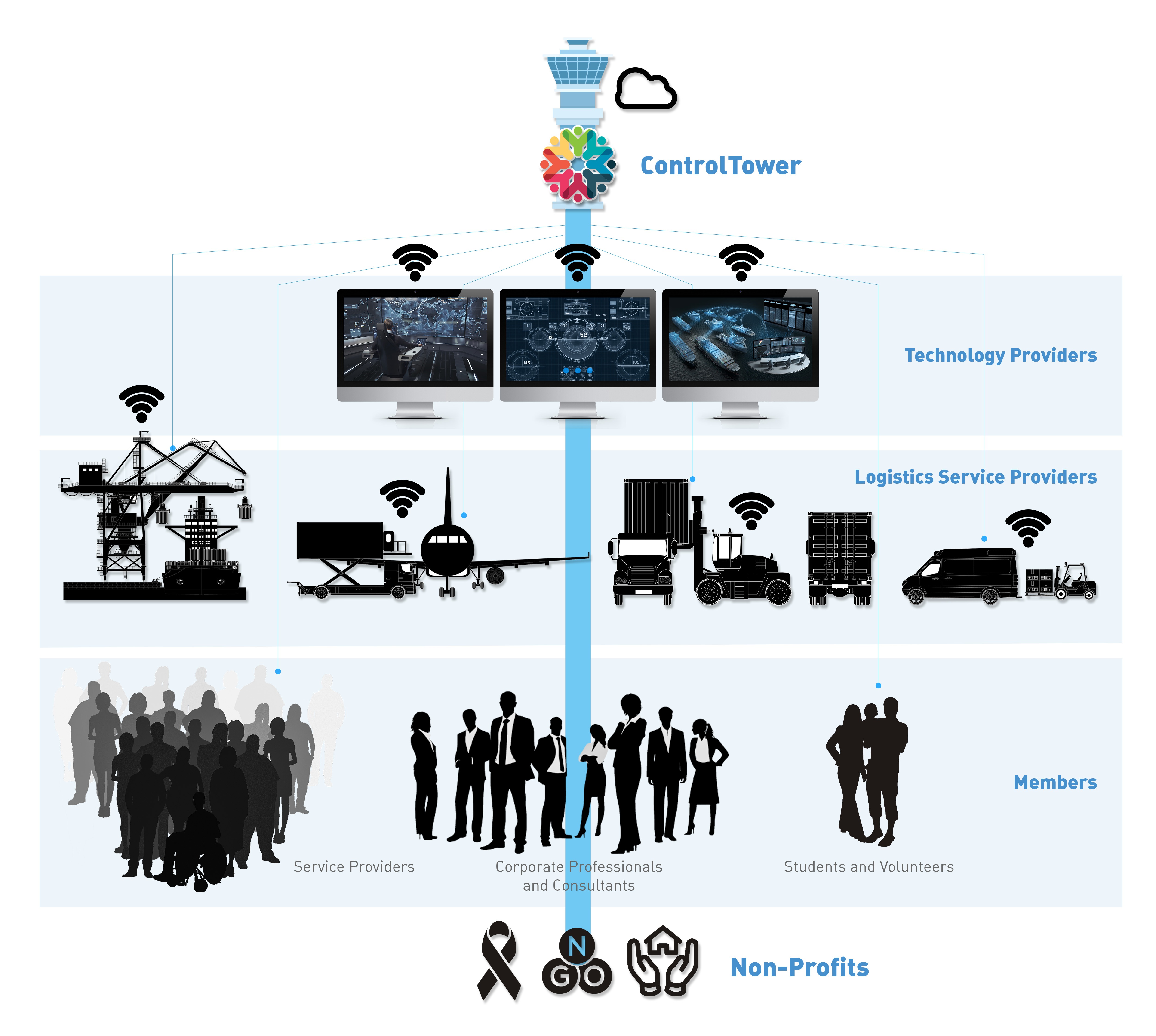
Collaborative Cloud Communication
Communities must build multi-business collaborative relationships and ensure that at-risk and homeless service providers are adequately resourced. Recent emergencies and disasters demonstrate that at-risk or people experiencing homelessness are often the first and most severely affected group during public health emergencies and disasters.